AREAS OF ACTION
The many challenges faced over the years have enabled us to undertake all the topographic and cartographic activities, where there is greater need to experience:
- GPS positioning networks for small and large works;
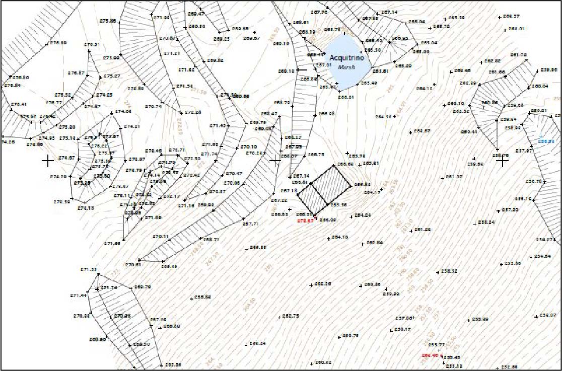
- Detailed topographic survey;
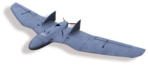
- Topographical surveys of large areas with U.A.V. technology;
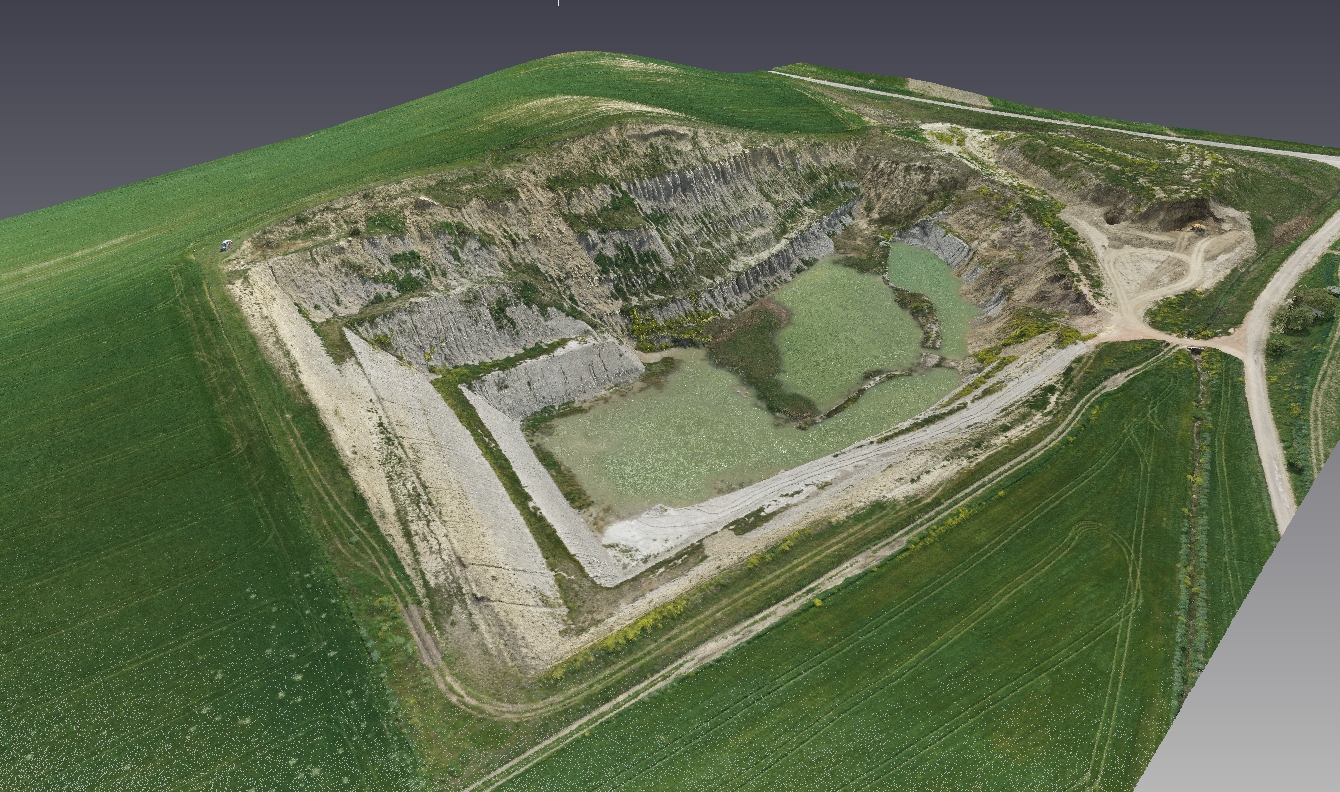
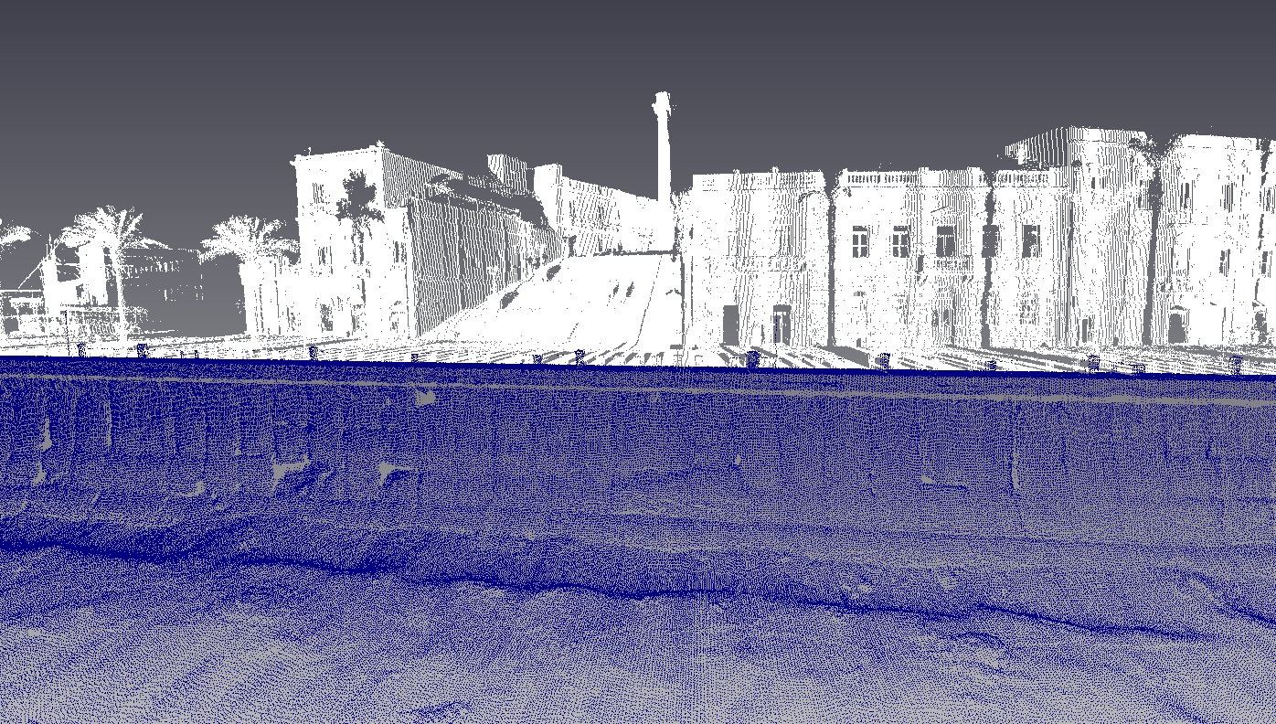
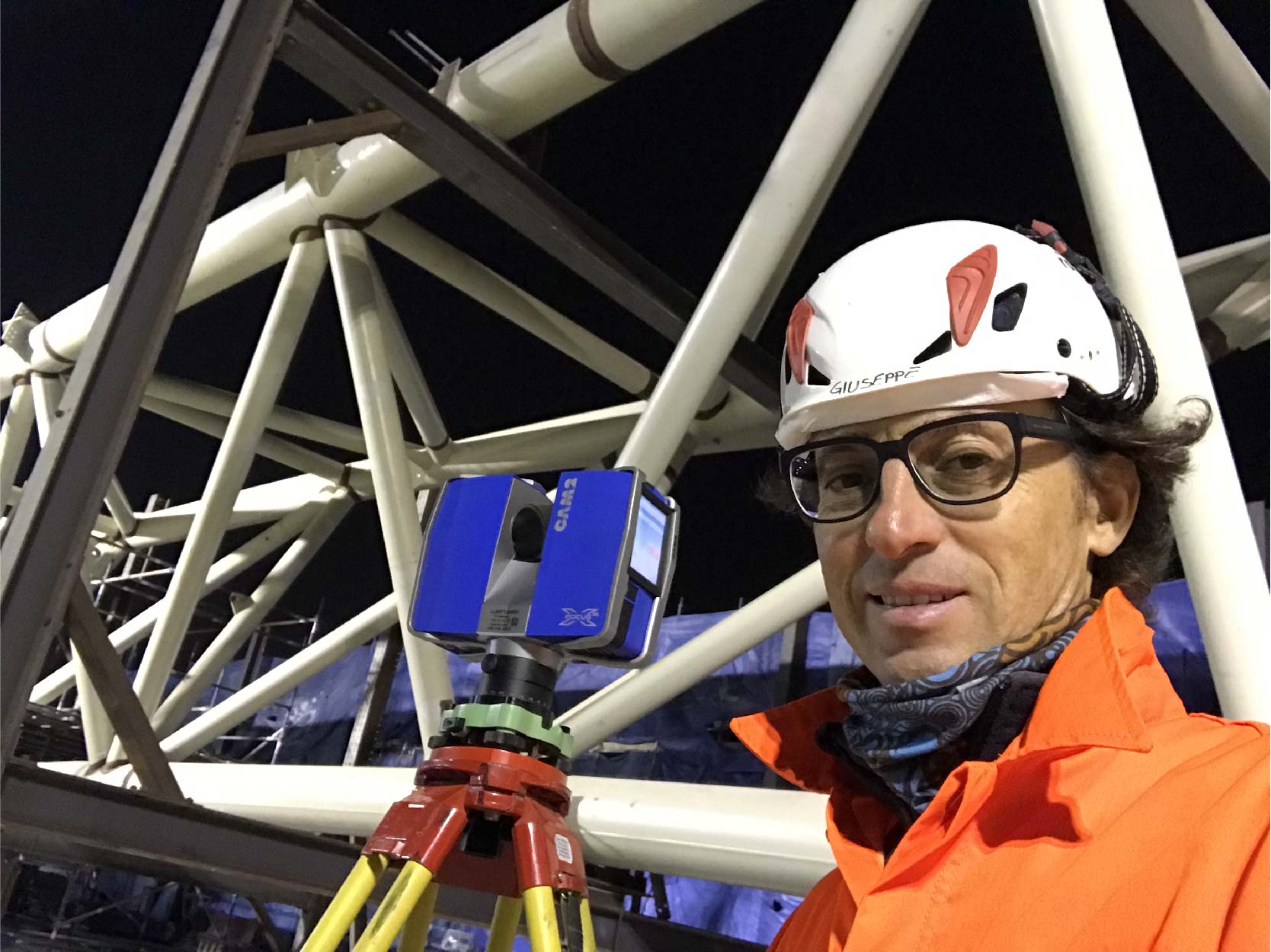
- 3D measurements with Lidar System (Laser-Scanner);
- Tracing of roads and railways, and other civil works;
- Micrometric controls;
- High precision levelling;
- Bathymetric surveys with MultiBeam system;
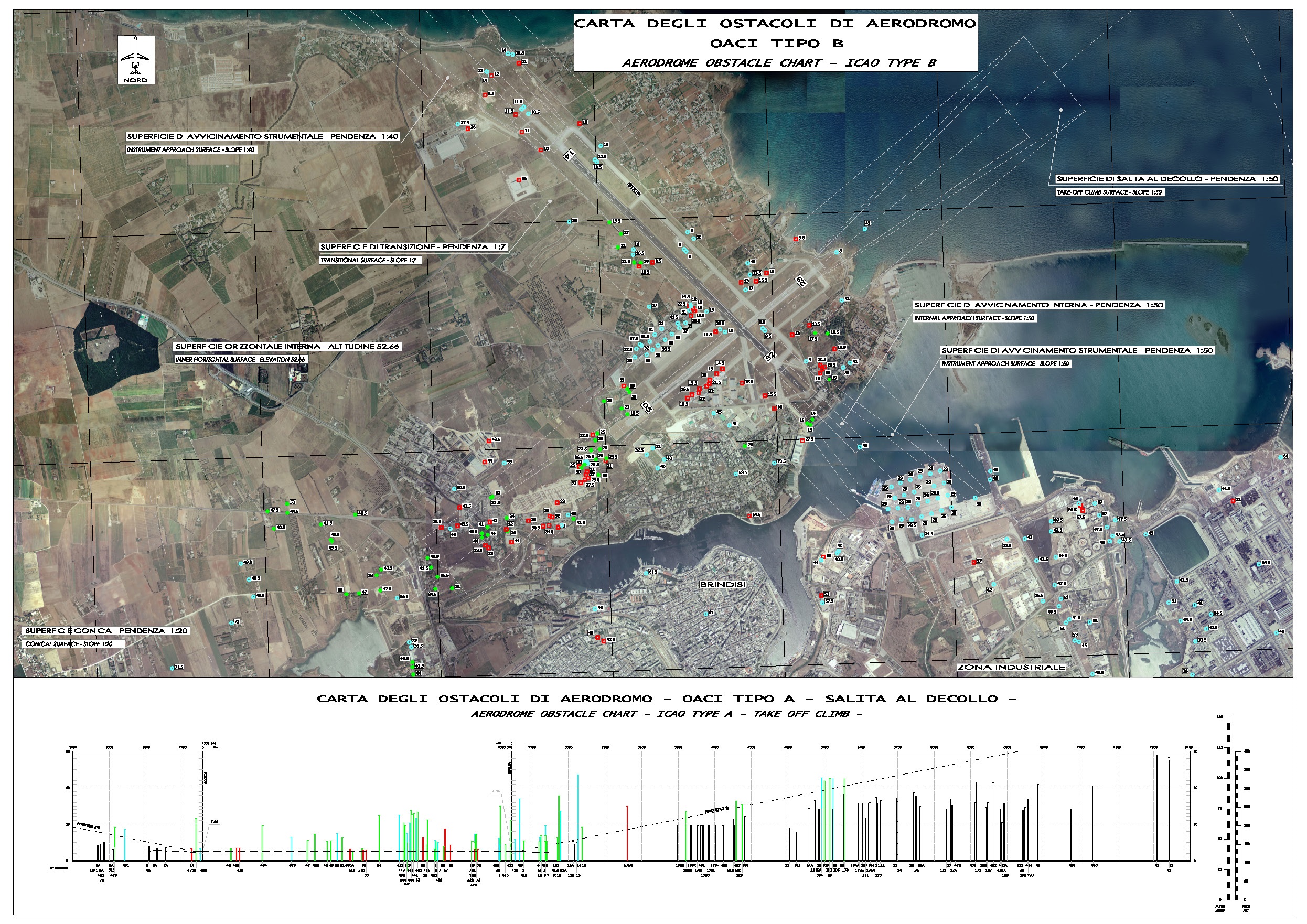
- Project of aeronautical charts OACI types A and B
NEW TECNOLOGIES
The technological updating is another strong point, in fact it is used the latest generation devices (FARO Laser Scanner-X330 3D and APR systems equipment – Aircraft Pilot in Remote or UAV – Unmanned Aerial Vehicle, also called DRONE) to meet the needs of its customers both in terms of time and quality.
The use of both traditional and latest generation of topographical equipment enlarge the company areas of action:
- create 3D models of inhabited centers and individual buildings;
- create territorial cognitive frameworks quickly;
- monitoring and control of quarries, landfills, landslides and polluted sites;
- monitoring of civil and industrial structures;
- topographic surveys of inaccessible areas;
- topographic surveys of complicated road conditions;
- 3D survey of archaeological sites and historical monuments;
- support to the civil protection operations;
- energy analysis with thermal cameras
- inspection of oil pipelines, gas pipelines, electricity and rail lines.